Detecting and describing land-cover change through a hybrid approach combining satellite remote sensing and the Semantic Web.
This work is part of the DELTA project (Describing the Evolution of the Landcover Through Semantic Annotation of Remote Sensing Data) , which aims to detect and describe changes in satellite time series data using an open and shared vocabulary within the Linked Open Data (LOD) cloud.
My research focused on: (1) the formalization of satellite-derived time series indices; (2) the design of a conceptual framework linking spatio-temporal context and methodological choices to the concepts used to describe change; (3) the structuring of a vocabulary dedicated to capturing the multiple facets of change (appearance, disappearance, variation, transition, spatial dynamics, and temporal shifts).
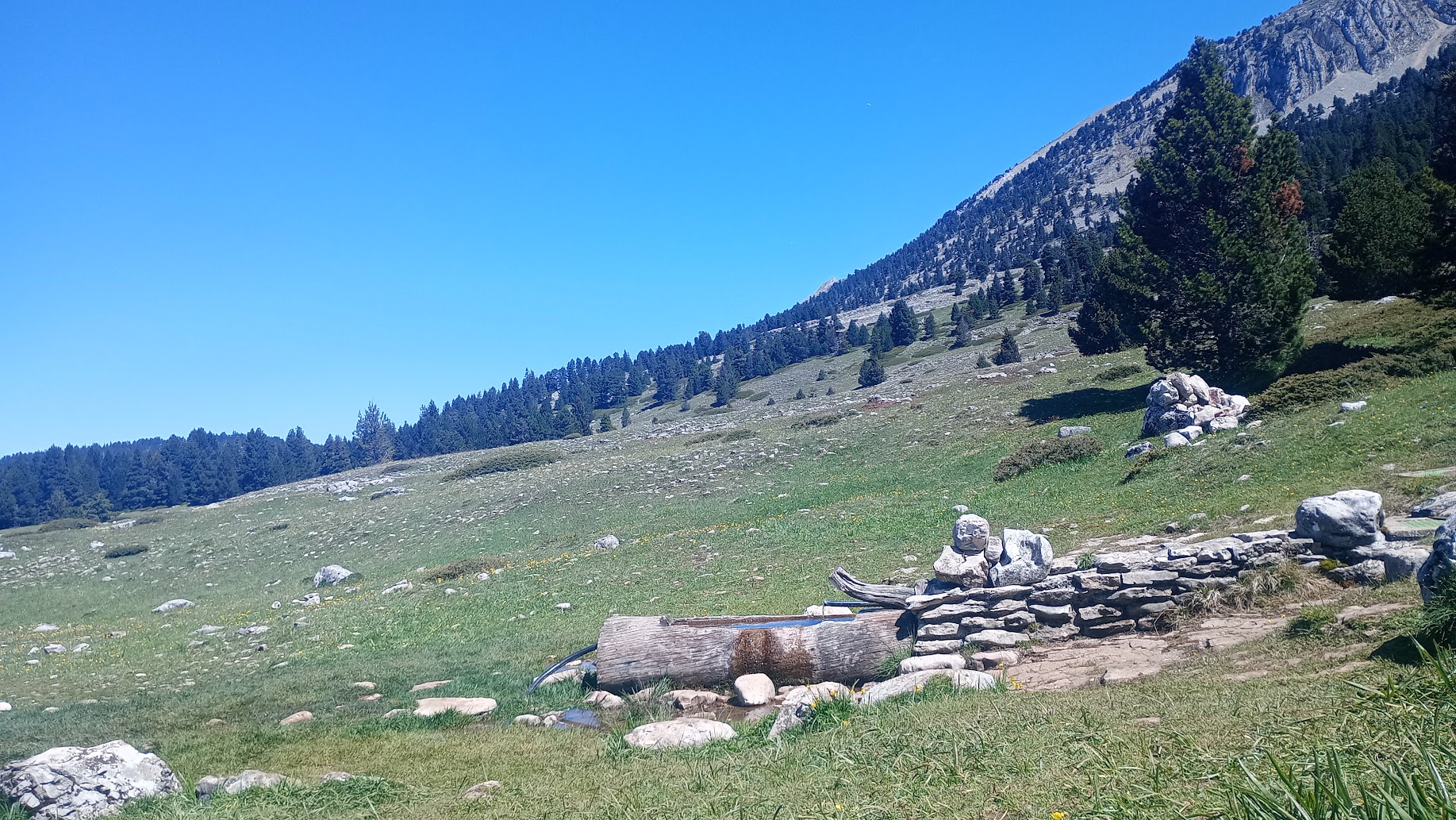
More specifically, I conducted a case study in an alpine pasture of the Vercors massif (2018–2023) to demonstrate how a structured vocabulary can describe the multiple dimensions of change observed in Sentinel-2 data (article in preparation). This work also represents a step toward implementation within a knowledge graph framework.
Spatial approaches for characterizing forest biomass resources in constrained tropical environments. Application to energy valorization of Acacia mearnsii in Réunion Island.
Developing a Wood Energy sector is one of the key strategies of Réunion Island in its ecological and energy transition. In this context, Acacia mearnsii was identified as one of the main mobilizable biomass resources. This invasive exotic species forms extensive stands unevenly distributed across the island, and its exploitation remains challenging due to strong topographic and logistical constraints. The main objective of my PhD thesis was therefore to build a methodological framework to assess the exploitable forest resource and evaluate the potential performance of an associated wood energy supply chain.

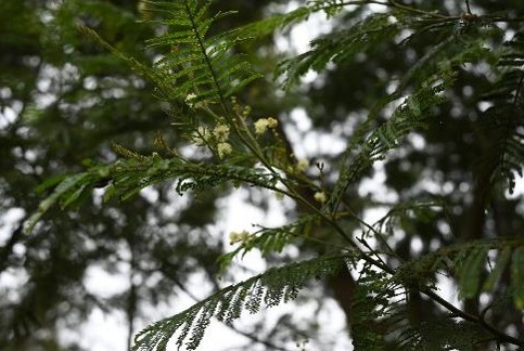
I first focused on the characterization of Acacia mearnsii using a mono-date very high spatial resolution satellite image. I developed a supervised classification model to discriminate major forest stands using both pixel-based and object-based approaches. Model performance assessment showed satisfactory results across both approaches and all studied classes. This allowed me to produce reliable maps of the main forest stands of the Hauts Sous-le-Vent massif .
To further refine resource characterization, I then worked on modeling exploitation constraints. I developed a model for assessing exploitable biomass combining very high spatial resolution remote sensing data with geographic variables such as slope and distance to forest tracks and roads. The results helped locate and characterize the resource according to three key forest management dimensions: trafficability, accessibility, and exploitability.
Finally, in order to evaluate supply chain performance, I addressed the question of environmental impact. I developed an exploratory model using the OCELET language to simulate and analyze biomass transport routes between forest parcels and a thermal power plant. This model provided an initial estimation of environmental impacts, particularly in terms of greenhouse gas emissions.